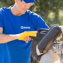
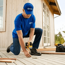
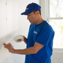
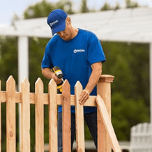
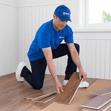
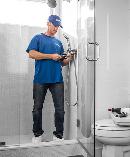
We offer a wide range of services for that fresh look, or just maintenance or updates to keep your home functioning and safe. Regardless of the size of the job, we have a craftsman that can tackle it. We offer a wide range of services for that fresh look, or just maintenance or updates to keep your home functioning and safe. Regardless of the size of the job, we have a craftsman that can tackle it.
"*" indicates required fields
Proudly Serving: Kelowna, West Kelowna, Peachland, Summerland, Penticton, Winfield, Oyama, Armstrong, Enderby, Salmon Arm, Sicamous
We are looking for experienced professionals to join our local team today!
We are the original- and leading- home improvement specialists in North America
Join Our TeamWe Believe In
Service Craftsmanship Trust Community Home
Learn MoreAnd being your lifetime connection for all your home improvement needs.
212 1884 Spall Rd.
Kelowna, BC V1Y 4R1

Our operators bring years of experience to Handyman Connection. Many have extensive backgrounds in construction, home repair, remodeling and other handyman services. Their goal is for Handyman Connection to provide its customers with excellent workmanship and superior customer service.
Harold was awesome. A pleasure to work with!
April 24, 2024

I really appreciated the persistent follow up from the team at handyman connection. Even though I didn’t go through with this quite (not in the budget currently) I will return to HmC for future proj...
April 23, 2024
Frank was excellent to work with. He is professional, polite and honest. I will definitely call him again for door repairs. I couldn't be more happy that I found him.
April 21, 2024
I used Handyman Connection for installation of an outdoor fan which required access to attic and building support for the weight of the fan. There was clear and timely communication from Frank at Hand...
April 19, 2024

Johann was an absolute pleasure to meet & he did an amazing job! Fully professional, easy to work with, engaging, positive (even funny). He went WAY above and beyond. Made the very difficult installat...
April 15, 2024
I had been unsuccessfully trying for 1 1/2 to find someone to replace the wood trim on my roof gables. It was such a nice change to work with Handyman connection and have my request dealt with so qui...
April 15, 2024
I can't afford your services at this time, I'm sure the value is there but it's too high for my budget. Best
April 13, 2024
Quick, efficient, friendly service--as always. Thank you so much.
April 12, 2024
Stepping into a bathroom adorned with simple yet elegant bathroom upgrades can transform your everyday routine into an experience akin...
Read More >Stepping into a home where the kitchen painting project has been masterfully executed can instantly elevate the heart of the...
Read More >When it comes to home decoration, outdoor spaces are often neglected in favour of the indoors. However, a well-designed deck...
Read More >212 1884 Spall Rd.
Kelowna, BC V1Y 4R1

© Handyman Connection 2024 | Privacy Policy
 250-717-5500